180: Day 26: How does GPS work?
Two summers ago I was able to attend the Einstein Plus workshop at the Perimeter Institute for Theoretical Physics. They provided some great mini-units on ‘Modern Physics’ topics, and I’ve tried to figure out a way to integrate these into my class. This year I realized I could use them as “filler” during our seniors’ Kairos retreats (students are gone for three days, which means I don’t see some of them all week!). I’m pulling out a couple of days worth of work from each unit, and the students who are on the retreat don’t have to make it up (they always have too much to make up anyway). This way, each student will get four mini-units, and miss one.
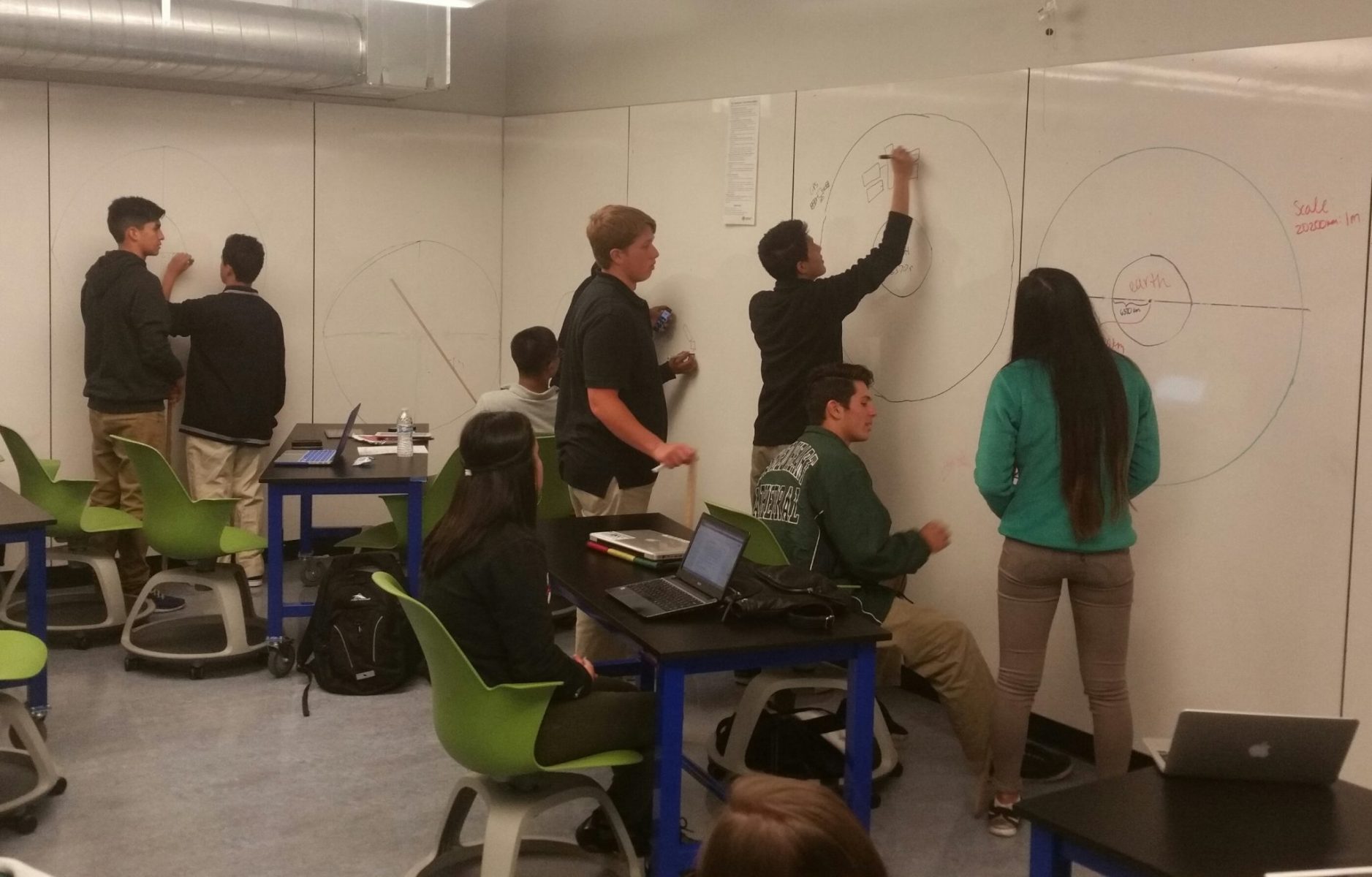
Today we started Everyday Einstein: GPS & Relativity. Students watch a short video about GPS (8 minutes), then explore uses of GPS, create scale drawings of the GPS satellites above the earth, make some calculations about the time between signal broadcast and its arrival on earth, and finally use an online mapping site to triangulate the position of an object given three cities and distances (would work great for earthquake epicenter location as well). We didn’t get as far as I had hoped, but we can finish the geolocating tomorrow, then start on relativity.